
Ground Truthing Using ArcGIS Survey123


Survey123 allows you to input your location or allows you to select your location on a map
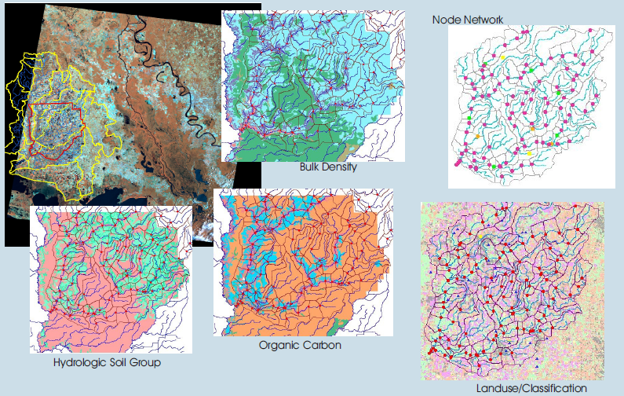
Verifying, or “ground truthing” cover crops usage and tillage practices in agricultural fields is a detailed, multi-step process that can quickly become time-consuming and repetitive. Waterborne’s team of scientists set out to streamline this effort by finding more efficient ways to collect accurate, field-level data. That goal was recently realized through the successful application of ArcGIS Survey123 in a client project, combining mobile data collection and smart routing to support conservation efforts and sustainable land management.
Developed for client use in the field, we began by developing a survey to capture key conservation practice indicators. It included questions about 1) the presence of cover crops, 2) the specific cover crop species used, 3) whether tillage practices were observed, and 4) the type of tillage method applied. To support visual verification through the ArcGIS Survey 123 process, our scientists were required to take a photo of each field as part of their submission.
Once the survey was developed, we enhanced it by incorporating route optimization software. This allowed us to organize the order of field visits based on several criteria, including minimum travel time, shortest overall distance, and custom preferences such as starting with the field farthest from the initial location. By aligning the survey workflow with an optimized route, we minimized travel time and maximized productivity in the field.
What we found is that ArcGIS Survey123 offers many features that helps support ground truthing of conservation practices on agricultural fields, including:
- Mobile Data Collection: Allows users to collect data on smartphones or tablets, even offline, making it ideal for field verification.
- Geotagged Surveys: Automatically records GPS coordinates, helping validate the exact location of observations in agricultural fields.
- Photo Integration: Supports photo capture directly within the form, allowing visual documentation of cover crop presence, residue cover, or tillage.
- Custom Form Design: Enables creation of tailored surveys with dropdowns, checkboxes, and conditional logic to record specific details like crop type, tillage method, cover crop species, growth stage, etc.
- Timestamp Recording: Automatically logs the date and time of each entry to aid in time-sensitive agricultural assessments.
- Integration with ArcGIS: Seamlessly syncs with ArcGIS Online or Enterprise, allowing collected data to be mapped, analyzed, and shared in near real-time.
- New AI Feature released in May 2025: A new feature for extracting information from images using AI was just released. This feature allows a user to ask the AI to identify objects, read text, or analyze patterns in the images
By combining thoughtful survey design, efficient routing, and the robust capabilities of ArcGIS Survey123—including its new AI-powered image analysis—our scientists demonstrated a scalable, field-ready approach to verifying agricultural conservation practices. This project not only improved data accuracy and efficiency but also provided a replicable model for future efforts in sustainable agriculture.
The Global Matchup: Rice Modeling Around the World
The Global Matchup: Rice Modeling Around the World July 27, 2026 | Modeling | Amy Ritter and Marty WilliamsThis year’s…
READ MORE

Beyond the Spectacle: The Environmental Effects of Fireworks
Beyond the Spectacle: the Environmental Effects of Fireworks July 21, 2026 | Climate Change | Like shooting stars zooming across…
READ MORE
When river restoration benefits both native and invasive species
When river restoration benefits both native and invasive species June 23, 2026 | Climate Change | In recent years, removing…
READ MORE
Summer’s Algae Stresses the Importance of Nutrient Monitoring
Summer’s algae stresses the importance of nutrient monitoring. June 23, 2026 | Field Studies | Green. Arguably the color of…
