Spatial Analysis and Data
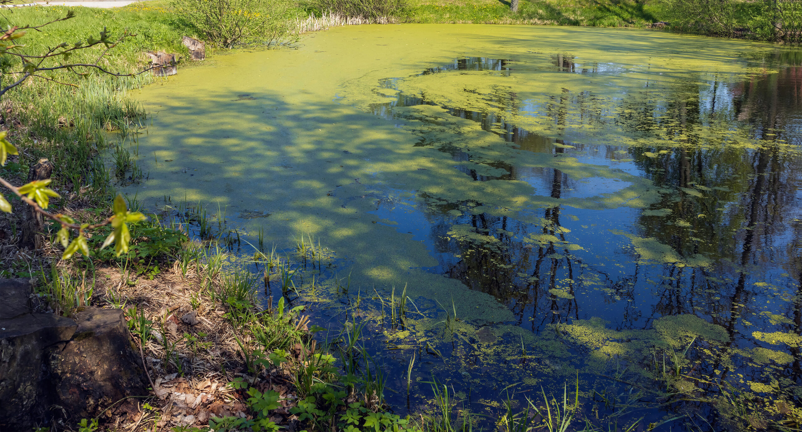
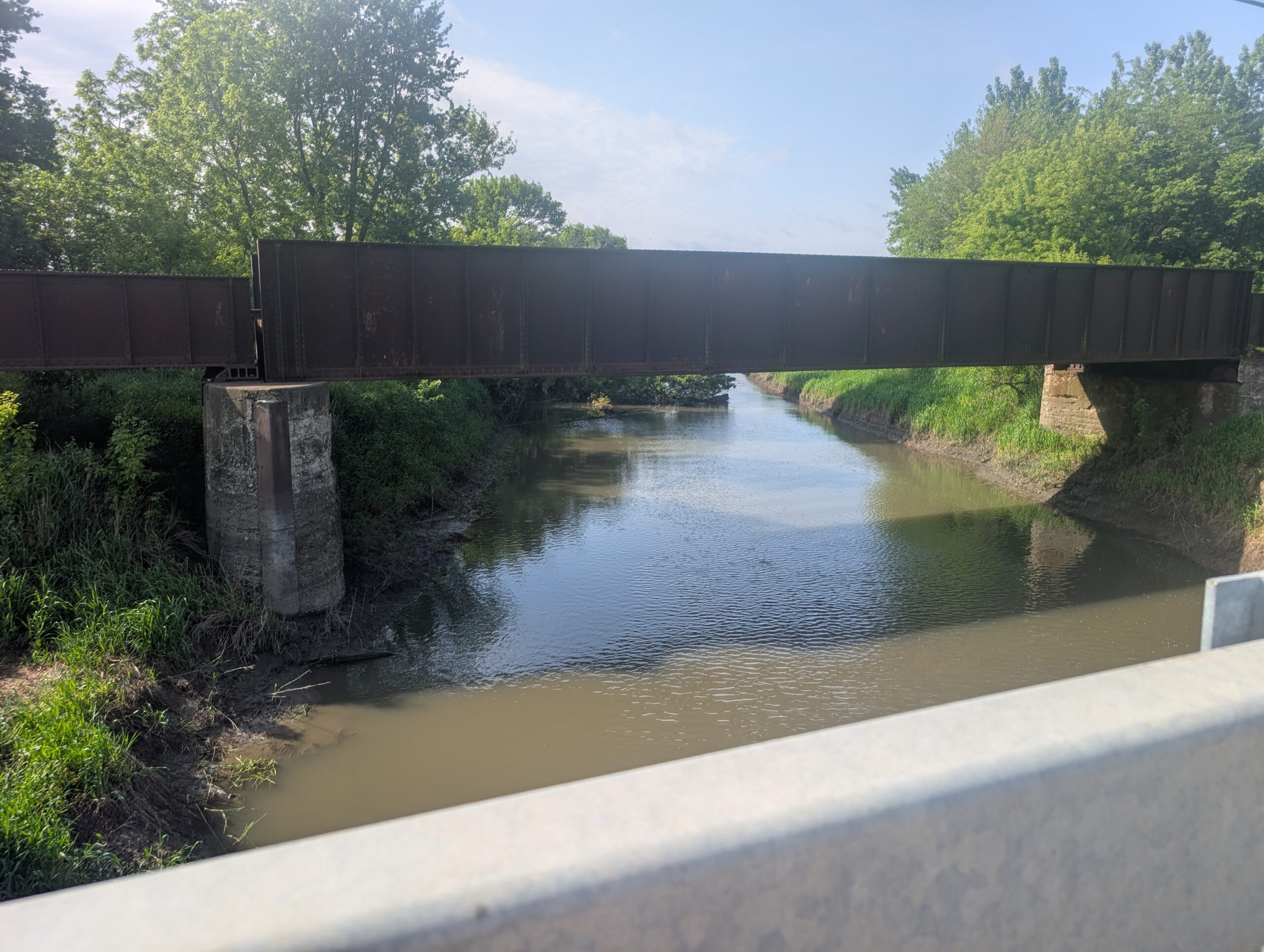
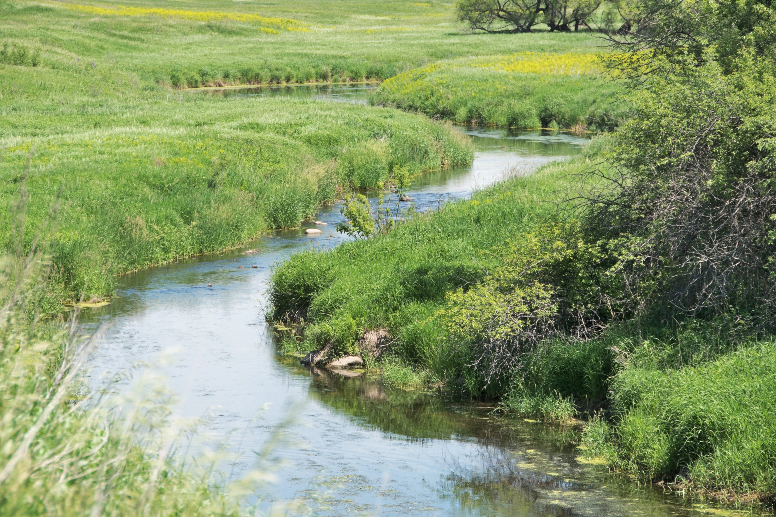
Turning geographic data into information is a powerful way to assess and visualize impacts on the environment. Waterborne's experts use GIS and remote sensing in support of pesticide risk assessments, product registrations, endangered species assessments, landscape and watershed characterizations, water quality assessments, and modeling.
![]()
Our experts use GIS and remote sensing,
Turning geographic data into information
Waterborne's specialists excel in finding and analyzing complex data sets and distilling them into informative cartograms. We integrate different datasets such as elevation, hydrology, land use, lidar, satellite imagery, soils, and weather into a single environment which can aid our clients in finding optimal solutions for their projects.

Do you have questions about our Spatial Analysis and Data work?
Contact Waterborne's Global Spatial Analysis and Data lead, Amy Ritter, at [email protected].
Chamber Workforce Programs
Our Services
Explore Where We Work
Our Spatial Analysis and Data Work
Our specialists stand out in finding and analyzing complex data sets and distilling them into informative cartograms. We integrate different datasets such as elevation, hydrology, land use, lidar, satellite imagery, soils, and weather into a single environment which can aid our clients in finding optimal solutions for their projects. We extensively use ESRI’s ArcGIS Desktop, Pro, Server, Survey123, and ArcGIS Online platforms, and extend their basic capabilities with relational databases, python, and R code to facilitate spatial analysis and results display.
Waterborne has been a Silver Member of ESRI’s Partner Network since 2000 and as such we have excellent insights in upcoming technological developments, new tools, and participate in beta programs.
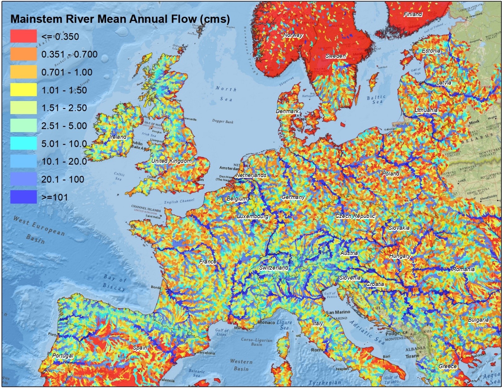
Visit our interactive map gallery at Waterborne Environmental (arcgis.com) and see what GIS can do for you in our Use of GIS in Agriculture storymap
Our expertise/services areas are:
- Data Research, Acquisition and Analysis
- Database/Data System Development
- Spatial Analysis
- Programming & Automation
- Spatial Modeling
- Context Setting and Crosswalks