
Taking Agriculture to New Heights: How Drones Are Revolutionizing Precision Farming


Figure caption: Drone imagery captured with A) RGB and B) multispectral cameras. These images are of the same agricultural field planted in soybeans, using a combination of hundreds of photos “stitched” together to create a highly detailed image called an orthomosaic.
In the ever-evolving landscape of agriculture, technology continues to play a pivotal role in boosting efficiency, sustainability, and productivity. One of the most transformative innovations in recent years is the use of drones—unmanned aerial vehicles (UAVs)—for precision agriculture calculations.
Gone are the days when farmers had to rely solely on manual inspections and guesswork. Today, drones are providing real-time, data-driven insights that help farmers make smarter decisions and use resources more efficiently.
What is Precision Agriculture?
Precision agriculture is a farming strategy that uses data analysis and technology to optimize field-level management with regard to crop farming. It involves monitoring variables such as soil conditions, crop health, moisture levels, and more—often with pinpoint accuracy.
Enter the Drone
Equipped with high-resolution cameras, multispectral sensors, and GPS technology, modern drones can fly over agricultural fields to gather a wealth of information. Here's what they can do:
- Crop Health Monitoring: By capturing multispectral images, drones can detect issues such as disease, pests, or nutrient deficiencies before they’re visible to the naked eye.
- Soil Analysis: Drones can assess soil composition, moisture levels, and texture, helping farmers determine the best planting patterns and irrigation strategies.
- Variable Rate Application (VRA): With accurate mapping, drones can guide the targeted application of water, fertilizers, and pesticides—reducing waste and environmental impact.
- Plant Counting and Yield Estimation: Using AI and image processing, drones can automatically count plants and estimate potential yields, improving harvest planning.
- 3D Mapping and Field Modeling: Drones can generate detailed 3D models of terrain, assisting in planning drainage, planting, and irrigation systems.
Precision + Productivity
The ability to perform these precision calculations quickly and accurately gives farmers a powerful advantage. It reduces labor costs, increases crop yields, and minimizes the overuse of inputs like water and chemicals. In short, drones make farming smarter, not harder.
From the Sky to the Soil, Waterborne is on the Leading Edge of Innovation
Drones in agriculture are more than just flying gadgets—they're precision instruments, transforming the way we grow food and manage land. Currently, Waterborne is working on ways to integrate drone technology into the physical application of crop protection products with the intention of understanding how this technology may allow for expedited, cost-effective, and flexible farm management. Our team of technical experts and partners in the field use two types of drones: 1) agricultural drones that are designed to apply product to crops, and 2) drones that capture high-quality imagery of the landscape. Agricultural drones are typically larger and are specifically manufactured to fly while holding more weight or “payload” and are equipped with spray tanks and nozzles for the application of product. Visual drones are smaller, highly maneuverable, and may be programmed for automated flights that capture of high-density images across a pre-defined area that may be “stitched” together to create a single image. Our team uses imagery from both RGB (Red Green Blue; wavelengths that may be seen by the human eye) and multispectral (capturing light from frequencies beyond the visible range) images repeated throughout the growing season to monitor and evaluate crop canopy and normalized difference vegetation index (NDVI), an indicator of vegetation health. This novel data collection offers producers the ability to monitor crop health in real time and address issues the moment they arise.
A Future-Forward Farming Tool
As drone technology becomes more affordable and accessible, even small-scale farmers can tap into its potential. Combined with machine learning and cloud-based data platforms, drones are not just a futuristic tool—they’re today’s solution for tomorrow’s challenges. Whether you're a farmer, agronomist, or agri-tech enthusiast, it's clear: drone technology offers solutions to persistent challenges in agriculture, presenting a future-forward management tool for operations of all types and sizes.

Beyond the Spectacle: The Environmental Effects of Fireworks
Beyond the Spectacal: the Environmental Effects of Fireworks July 21, 2026 | Climate Change | Like shooting stars zooming across…
READ MORE
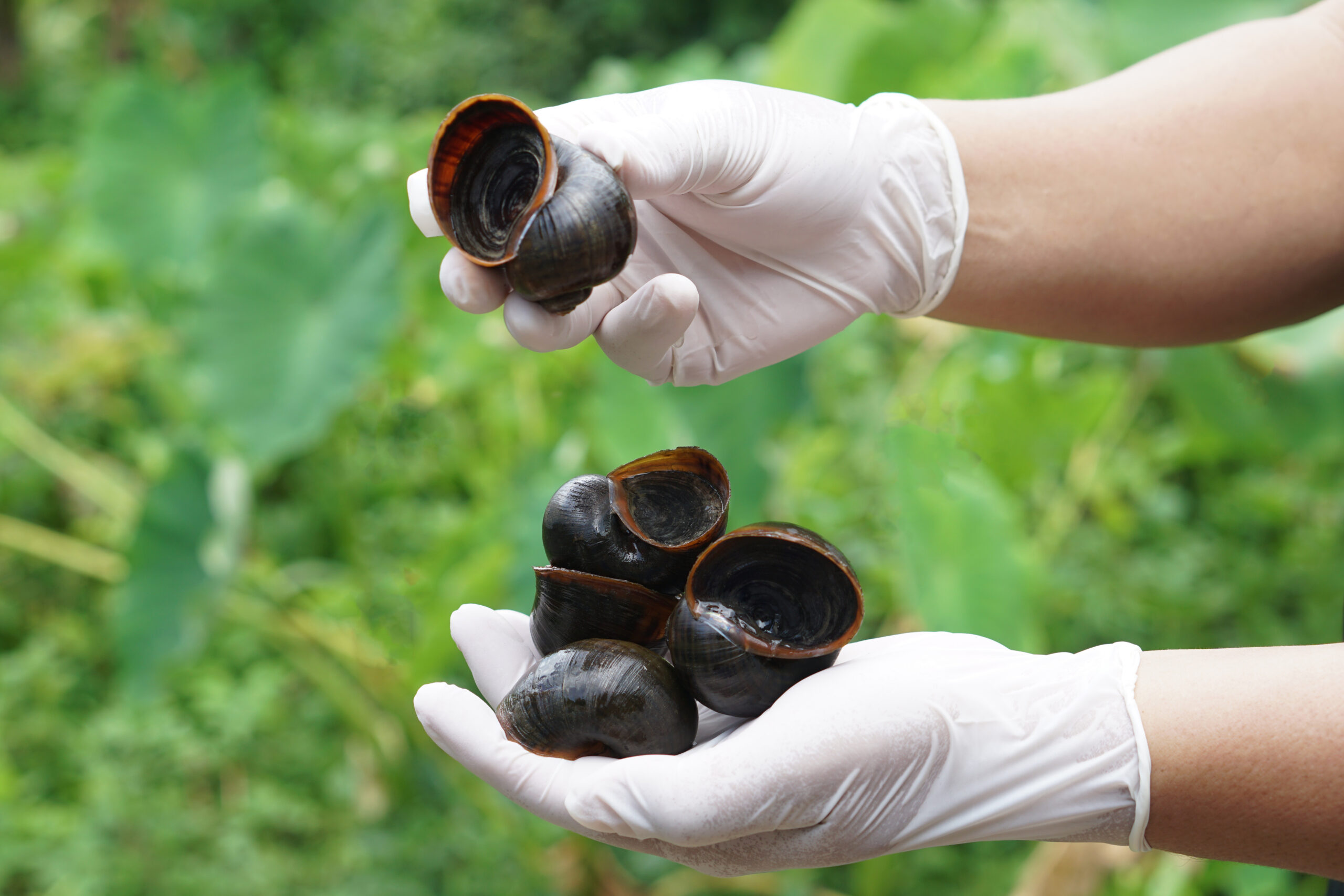
When river restoration benefits both native and invasive species
When river restoration benefits both native and invasive species June 23, 2026 | Climate Change | In recent years, removing…
READ MORE
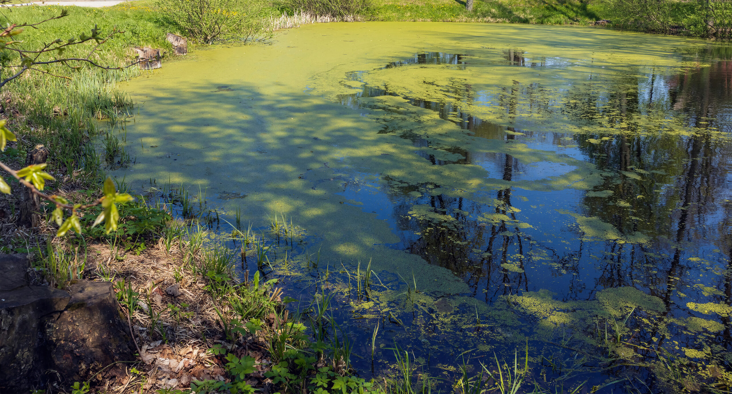
Summer’s Algae Stresses the Importance of Nutrient Monitoring
Summer’s algae stresses the importance of nutrient monitoring. June 23, 2026 | Field Studies | Green. Arguably the color of…
READ MORE
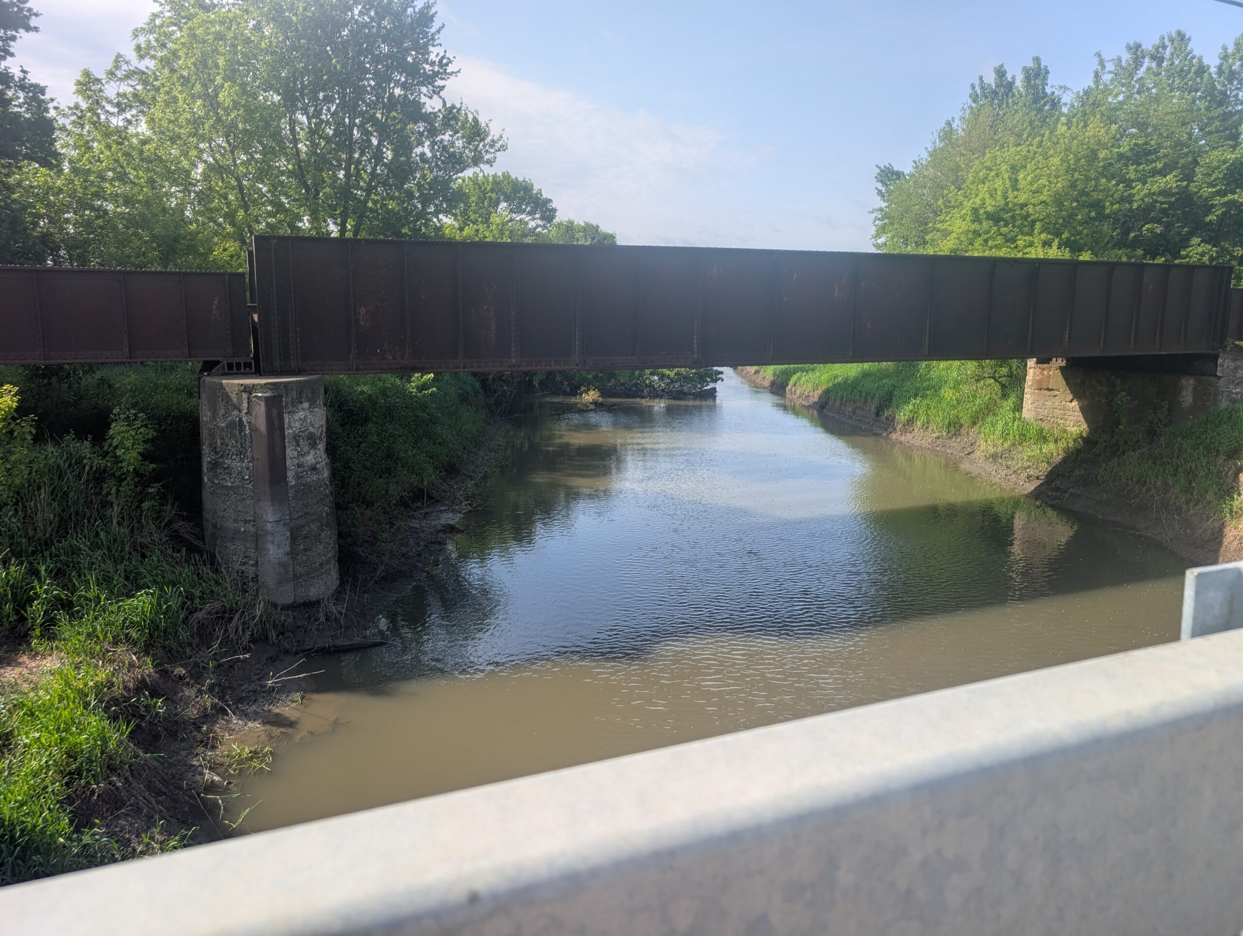
The calm before the storm – welcome to field season!
The calm before the storm – welcome to field season! May 27, 2026 | Field Studies | Jennifer TraskWhile Waterborne…
