
Modern GIS and Remote Sensing
Relating geographic data, especially seemingly random or disconnected data, was once a challenging effort requiring countless hours and calculations to produce usable results. However, since Roger Tomlinson first released his groundbreaking system in 1963, scientists have had Geographic Information System (GIS) technology to capture, store, check, and display related geographic positions. Waterborne’s scientists work extensively with GIS and remotely sensed data mapping through our Spatial Analysis and Field Studies client work dealing with pesticide risk assessments, endangered species assessments, modeling, watershed characterizations, and much more.
Today’s GIS has come a long way from its early mainframe computer and line printer output roots. Modern GIS doubles-down on technology to bring detailed data results previously unavailable or out-of-reach for the typical study. By acquiring the latest GIS datasets on land use, soils, weather, elevation, climate change vulnerability, threatened and endangered species habitats, Waterborne’s scientists are able to run robust and precise spatial datasets that can become the basis for specialized models. We can then apply additional layers of technology, including:
- ESRI Software. Utilizing several of ESRI’s products, including ArcGIS Pro, ArcGIS Server, ArcGIS Online, and Survey123, Waterborne’s scientists create maps, interactive web maps and web tools, surveys that can be filled out while in the field or back in the lab.
- GIS Crosswalks. We perform our own GIS crosswalks or use publicly available tools like OECD ENASGIPS. By using soil, climate, and other spatial data, we can identify similar ecoregions, perform site selection, etc.
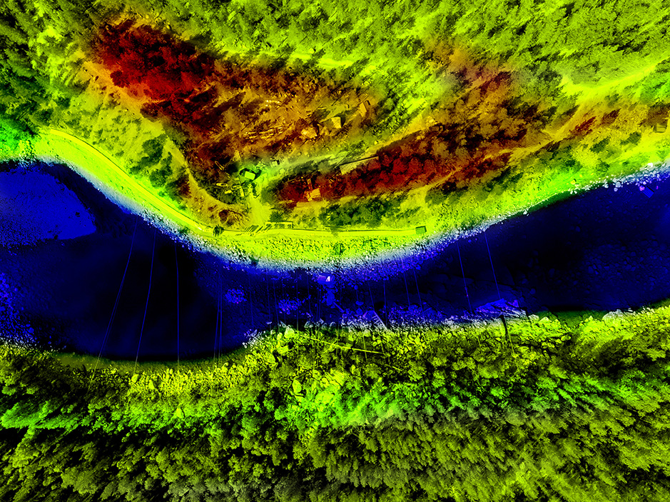
Remote sensing has had a dramatic impact on GIS, providing new levels of technology and modeling opportunities. Waterborne’s scientists may employ:
- Drone capabilities. Particularly useful in agriculture-based studies, our licensed drone pilots may take single-field or multi-field flights during a field study to look at various parameters such as crop health/crop development, crop plant counts, elevation/drainage information, etc.
- Satellite imagery/aerial image analysis. Another way we can track crop health/crop development, satellite imagery contains multiple bands which allow us to calculate several vegetative, soil health, and water related indices is to review satellite imagery or aerial images for a location.
- Machine Learning/Deep Learning: Having an in-house Artificial Intelligence (AI) technology team has helped Waterborne’s scientists best utilize machine learning and deep learning tools on various GIS and remote sensing projects. This technology is particularly helpful in developing predictions and when sourcing identifications and classifications.
- Google Earth Engine. When possible, we will incorporate Google Earth Engine into our workflows as it allows us to process remotely sensed data quicker and more efficiently. For example, we can automate calculating NDVI values or other vegetative indices from Sentinel satellite imagery.
Both GIS and remote sensing have had a tremendous impact on field study and modeling projects. Using this technology, we’ve been able to improve data results while simultaneously saving project time and budgets. We can’t wait to see the next generation of this technology will bring to the scientific table!

Beyond the Spectacle: The Environmental Effects of Fireworks
Beyond the Spectacal: the Environmental Effects of Fireworks July 21, 2026 | Climate Change | Like shooting stars zooming across…
READ MORE
When river restoration benefits both native and invasive species
When river restoration benefits both native and invasive species June 23, 2026 | Climate Change | In recent years, removing…
READ MORE
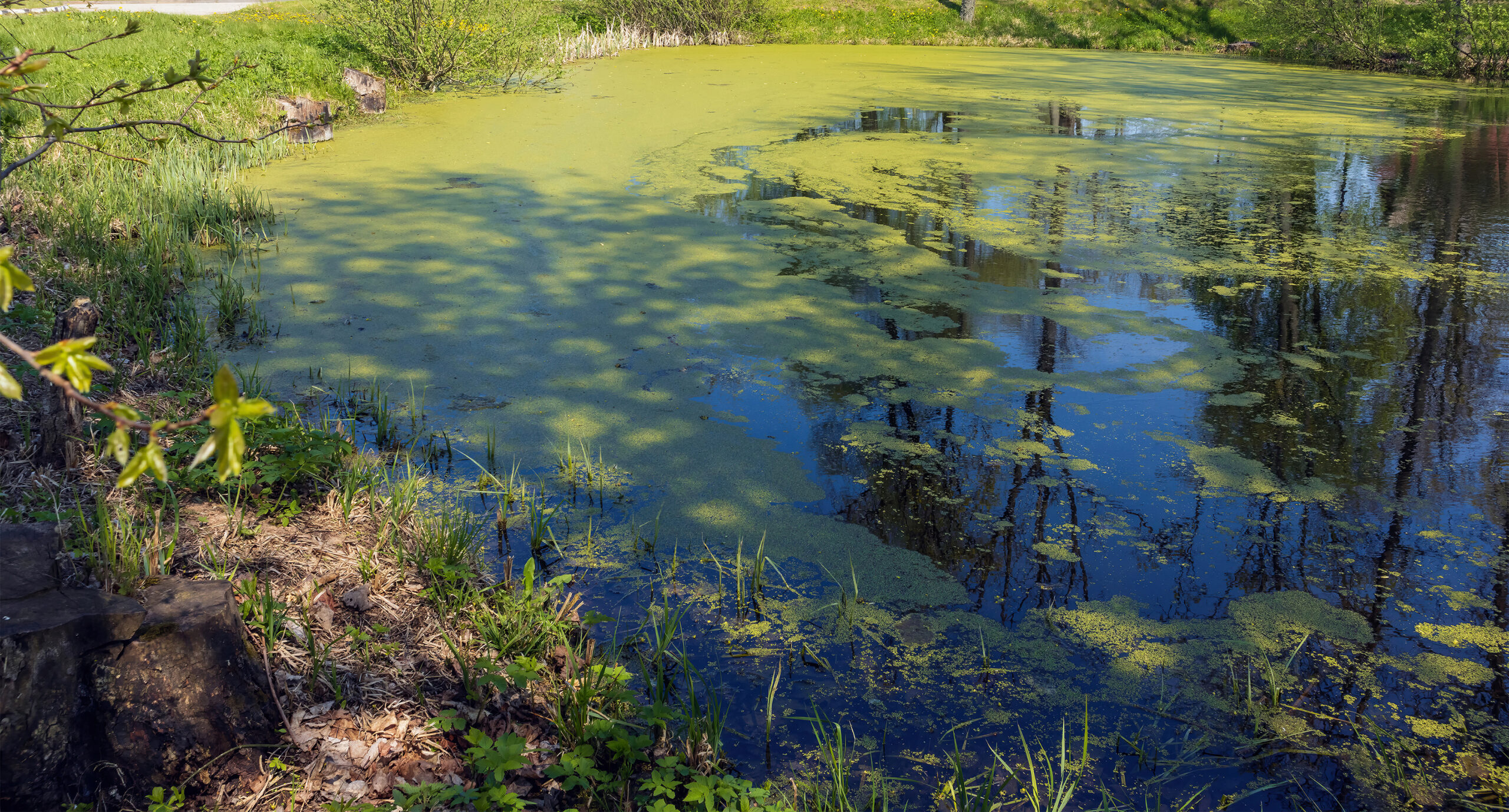
Summer’s Algae Stresses the Importance of Nutrient Monitoring
Summer’s algae stresses the importance of nutrient monitoring. June 23, 2026 | Field Studies | Green. Arguably the color of…
READ MORE
The calm before the storm – welcome to field season!
The calm before the storm – welcome to field season! May 27, 2026 | Field Studies | Jennifer TraskWhile Waterborne…
