
Spatially Referenced Global River Flow Data for Aquatic Safety Assessment Exposure Models Developed from Publicly Available Global Data Sets

Spatially Referenced Global River Flow Data for Aquatic Safety Assessment Exposure Models Developed from Publicly Available Global Data Sets
Raghu Vamshi (Waterborne Environmental, Inc.), Susan A. Csiszar* (Procter and Gamble), Kathleen McDonough (Procter and Gamble), Ryan Heisler (American Cleaning Institute), Chiara M. Vitale (Procter and Gamble), Katherine E. Kapo (Waterborne Environmental, Inc.) , and Amy M. Ritter (Waterborne Environmental, Inc.)
ACS ES&T Water 2025, 5, 2, 618-628 (Article), Publication Date (Web): February 2, 2025
Abstract
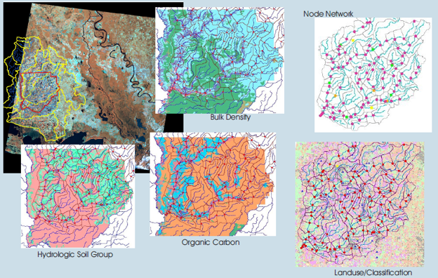
The availability of detailed river flow data across large geographic areas is needed for several scientific applications, and the focus of this work was to develop a spatially referenced global river flow data set for use in environmental risk assessments for substances entering rivers. This paper provides a publicly available spatially resolved global spatial data set, which can be readily used in aquatic exposure models. This paper explores applying the well-established curve number (CN) method to estimate surface water runoff, which was used as the basis for estimating river flows. Input needed to implement the CN method was from freely and publicly available global data sets on hydrologic soil groups, land cover, and precipitation. The runoff data were then spatially combined with publicly available global hydrological data sets of catchments and rivers to estimate daily mean annual flows across the globe on a level-12 catchment scale. Estimated daily mean annual flows were compared with measured gauge flows at rivers in several countries, which showed good correlation (R2 of 0.71–0.99) on a river catchment level. Additionally, flows were compared on a sub-basin level, which also correlated well with measured gauge flows, with an R2 of 0.9 (log transformed) across basins in several countries.
The Global Matchup: Rice Modeling Around the World
The Global Matchup: Rice Modeling Around the World July 27, 2026 | Modeling | Amy Ritter and Marty WilliamsThis year’s…
READ MORE

Beyond the Spectacle: The Environmental Effects of Fireworks
Beyond the Spectacle: the Environmental Effects of Fireworks July 21, 2026 | Climate Change | Like shooting stars zooming across…
READ MORE
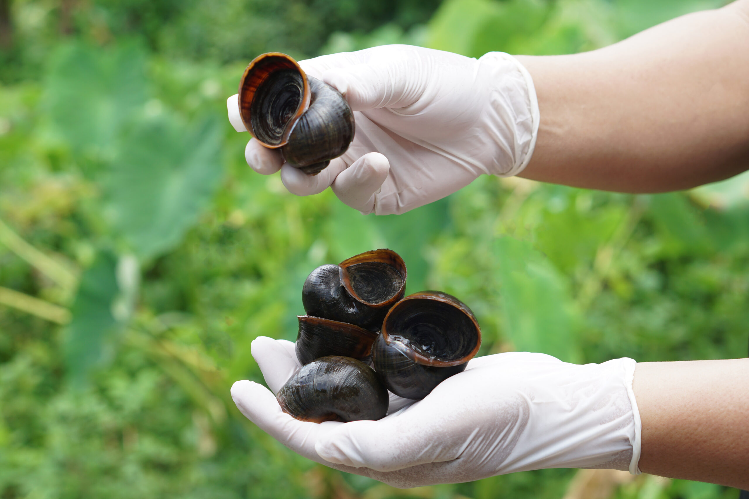
When river restoration benefits both native and invasive species
When river restoration benefits both native and invasive species June 23, 2026 | Climate Change | In recent years, removing…
READ MORE
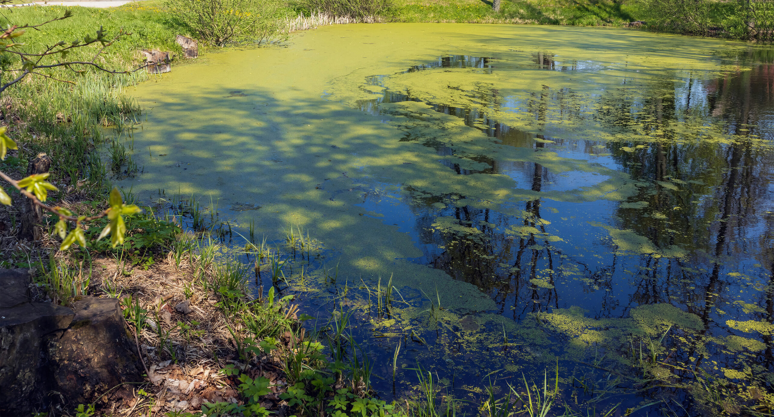
Summer’s Algae Stresses the Importance of Nutrient Monitoring
Summer’s algae stresses the importance of nutrient monitoring. June 23, 2026 | Field Studies | Green. Arguably the color of…
