
From Doppler to Home Depot Runs, Flooding Has Changed Field Study Sampling
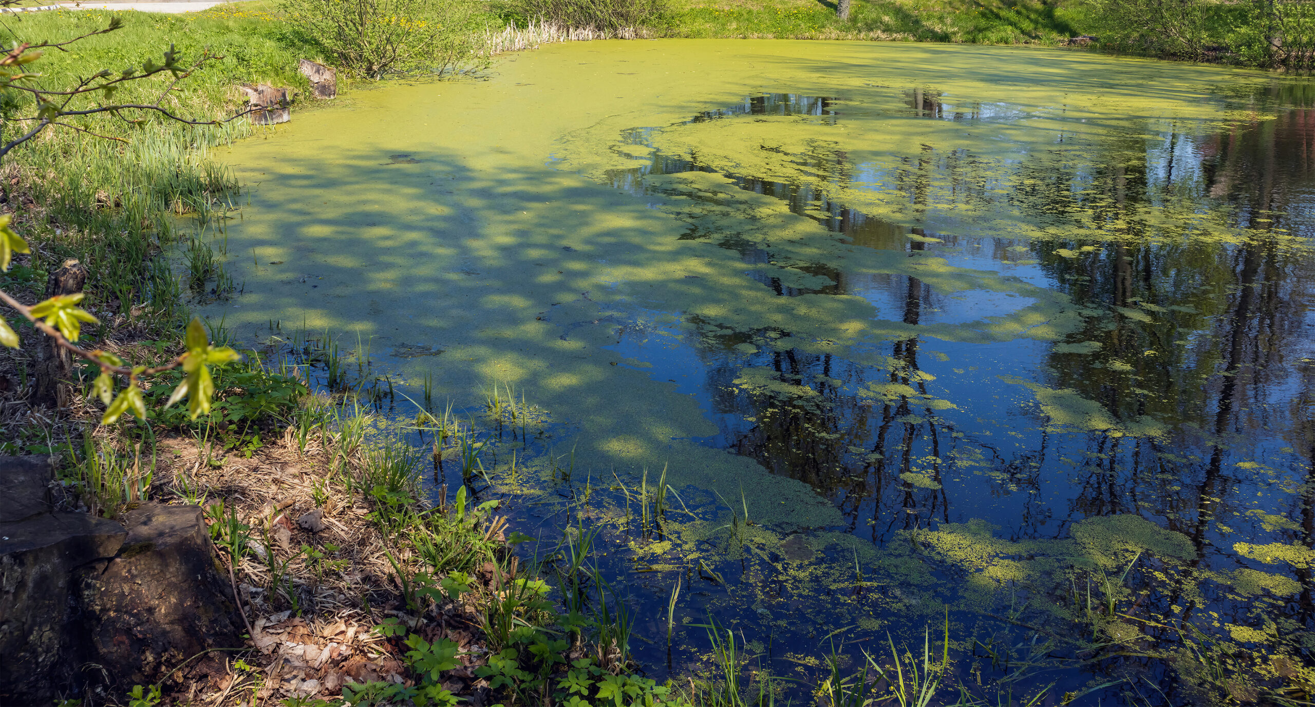
Floods and their devastating effects have dominated headlines around the world. Yet, not every flood leads to death and destruction. Sometimes it leads to a challenging work environment and seemingly impossible study conditions… for everyone outside of Waterborne!
Climate change and its impact has created an ever-changing environment within which our clients continue to operate and produce. Field studies for clients can’t shut down every time the weather changes, which means that their sampling and regulatory needs must continue, regardless of Mother Nature. Working within the unexpected has become the norm for our field study scientists, who may find themselves employing the latest remote technology or driving to the hardware store to ensure uncompromised study data.
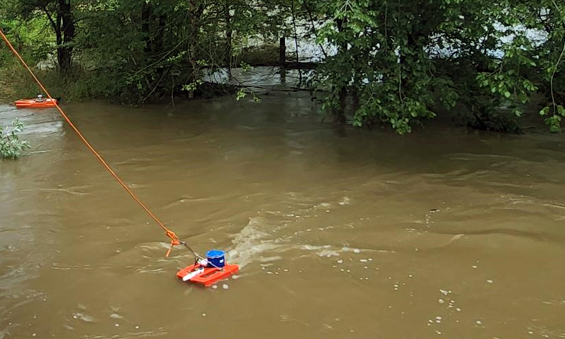
 By using all telemetry and technology available, we can ensure clean data and sampling, no matter the weather. Doppler is particularly useful in monitoring water levels at sites and building predictions. Choosing the right Doppler for the job at hand is the first step, followed by accurately deploying its receptors within a field setting in calibration with the data required. Using an internal compass and the Doppler Effect, Dopplers calibrate by sending pulses through water, building ratings curves based on measurements (velocity, width, etc.) that then allow us to predict and estimate discharge at any given level. Using this data, we can then calculate levels of chemicals in water and confirm current and predict future exposures. On occasion, Doppler data can redefine an original study with more accurate and reliable results.
Drones have also been useful, particularly when access is limited, when mapping out changes over time or predicting future flood paths. For example, by flying over a sample area, drones help us estimate flood areas based on topography. These estimates are useful in developing flood inundation maps and predicting potential inundation areas along large bodies of water. We can capture images over time and during flooding when a study area is inaccessible.
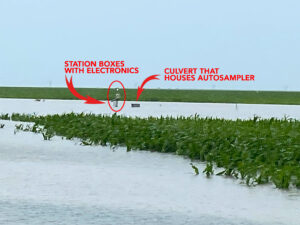
With MacGuyver-esque flair, our scientists have more than once trolled a local Home Depot in search of sampling solutions. In some cases, such as when a local river overflowed due to a catastrophically large rain event, fields that had been dry only the day before were suddenly flooded under many feet of water. Any bottles flipped over were also compromised. By employing old fashioned ingenuity (and some impressive carpenter skills), our team was able to design and construct flood-proof testing stations that could satisfy ongoing testing requirements and endure future floods.
Tracking storms has value in that we can then provide high flow event data to our project. Barriers and path obstacles can be identified and samples taken from storm-fueled waterways. Sometimes a sampling situation will change in real-time. More than once, our scientists have found roadways flooded or stream banks breached during a sampling period. In this situation, packing a Swiss-Army Knife type sampling kit helps! Rather than be dismayed about water over a roadway, our scientists instead may deploy a flow tracker to measure the discharge and add data to the project.
While climate change flooding may be our world’s new norm, it is through the use of real-time equipment monitoring and relying on experience and innovation that project sampling and data tracking will continue!
The Global Matchup: Rice Modeling Around the World
The Global Matchup: Rice Modeling Around the World July 27, 2026 | Modeling | Amy Ritter and Marty WilliamsThis year’s…
READ MORE

Beyond the Spectacle: The Environmental Effects of Fireworks
Beyond the Spectacle: the Environmental Effects of Fireworks July 21, 2026 | Climate Change | Like shooting stars zooming across…
READ MORE
When river restoration benefits both native and invasive species
When river restoration benefits both native and invasive species June 23, 2026 | Climate Change | In recent years, removing…
READ MORE
Summer’s Algae Stresses the Importance of Nutrient Monitoring
Summer’s algae stresses the importance of nutrient monitoring. June 23, 2026 | Field Studies | Green. Arguably the color of…
